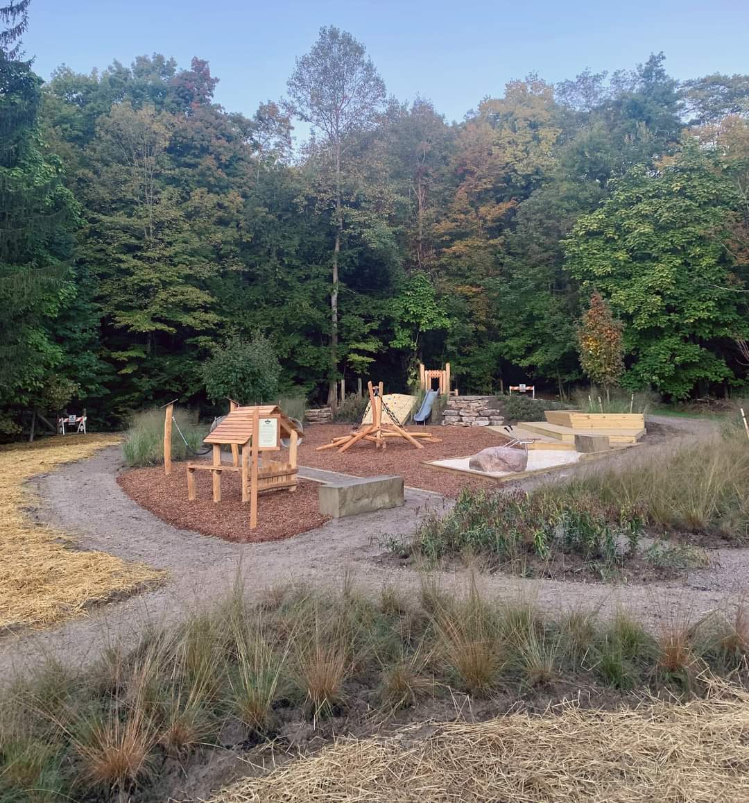
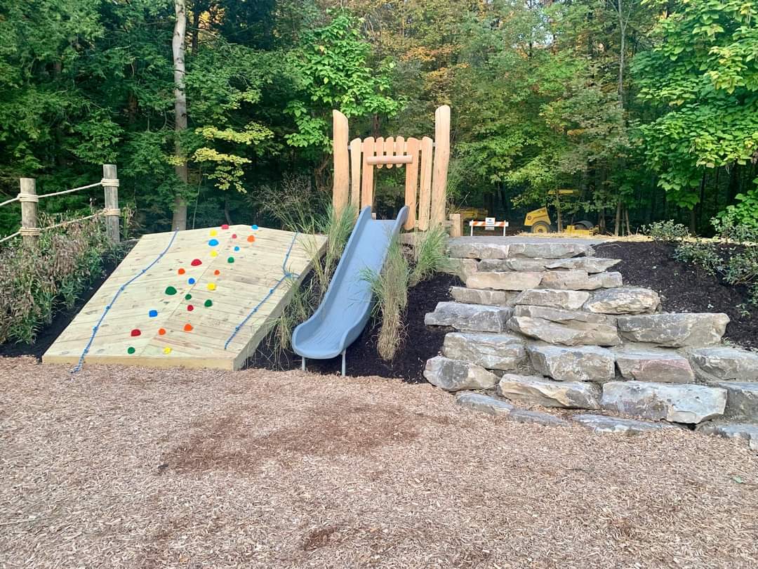
This 65-acre park attracts wildlife with its diverse habitats. Three trails total 1.15 miles, and children can have fun on a new Nature-based playground.
This 65-acre park attracts wildlife with its diverse habitats. Three trails total 1.15 miles, and children can have fun on a new Nature-based playground.
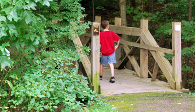
This park offers some great short run trails to use while you enjoy the scenery.
Griswold Creek Trail – 0.2 – asphalt
Evergreen Trail – 0.3 – asphalt
Summit Trail – 0.65 – primitive
You'll enjoy towering conifers and dense thickets, providing a great escape for a variety of species.
A mature beech-maple woods covers the majority of this park. A sandstone knoll at the western edge of the park rises 140 feet above Griswold Creek. Wildflowers and small rock outcroppings grace the hillside.
The remains of an old orchard are located in the meadow at the foot of the hill where an old homestead once stood. Two conifer plantations add greenery year-round.
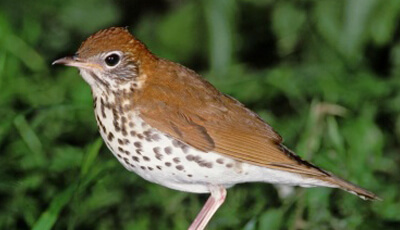
A majority of the area surrounding Griswold Creek and its tributaries is considered wetland. Dense thicket provides cover to a variety of birds and other wildlife in the lowlands surrounding the creek. Beavers have constructed a dam that attracts even more aquatic life.
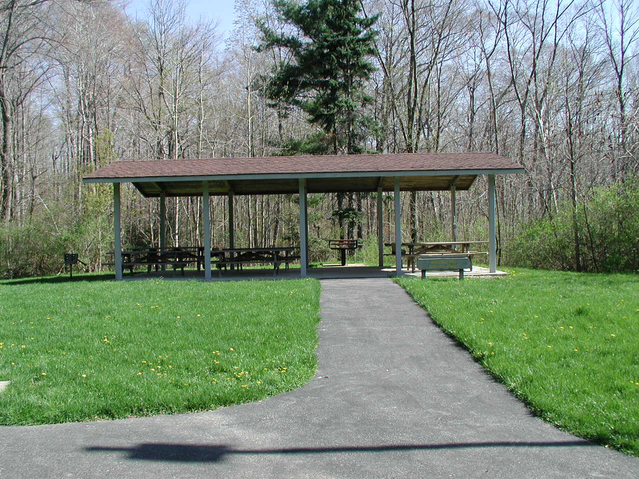
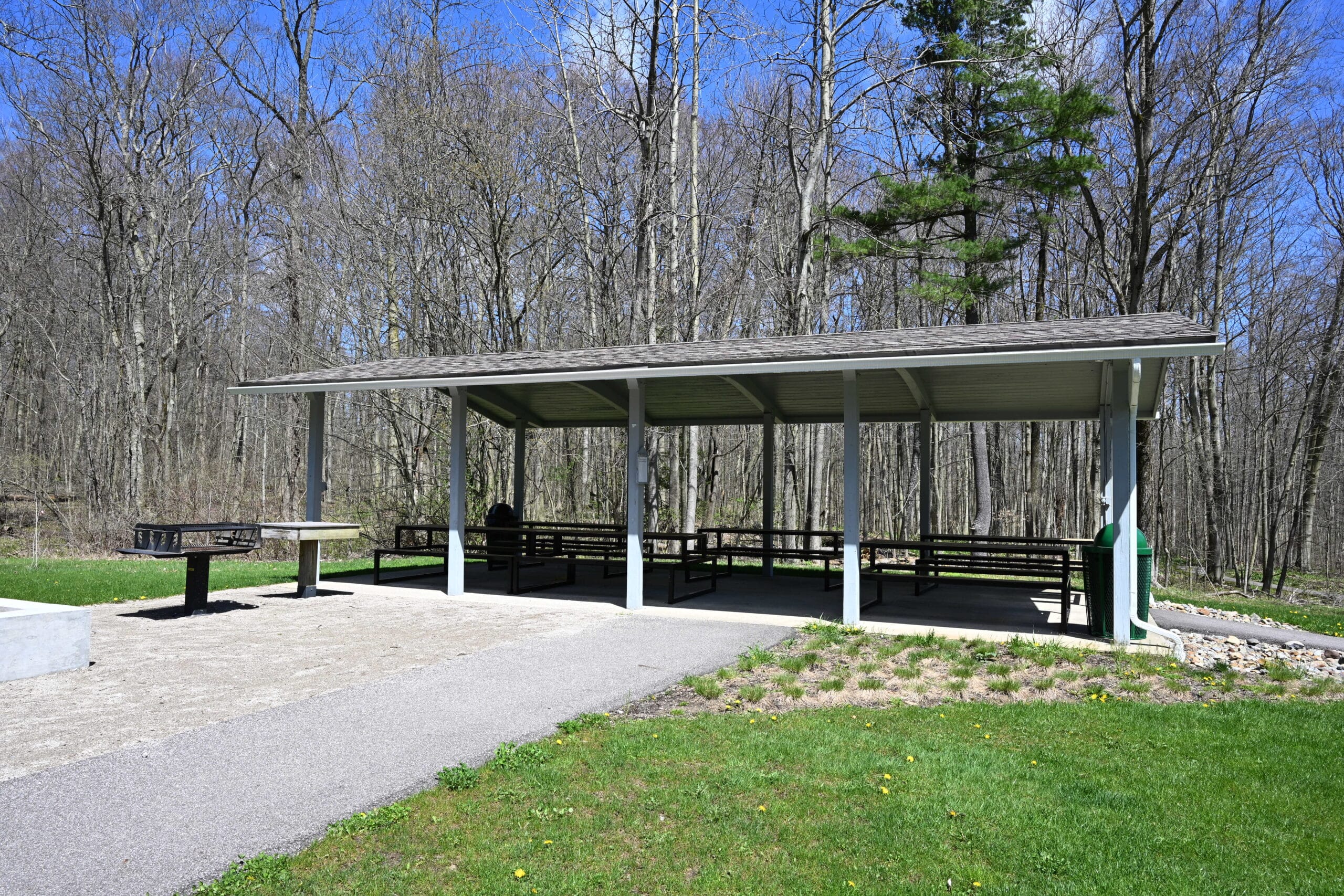
Bessie Benner Metzenbaum Park has one reservable shelter.
Wisteria Hill Shelter can host up to 75 people and offers 7 picnic tables, electrical outlets, a grill, and nearby vault-style restrooms. The playground is always open to the general public.
Guests must bring their own water for drinking and clean-up. Alcohol is only permitted in the shelter, not in the adjacent support facilities such as restrooms, activity areas, trails, parking lots or roads.
To protect the beauty of the parks, Geauga Park District encourages you to “Pack It In, Pack It Out.” Decorations are nice, but please no nails, glitter or confetti, and be sure to remove all traces of your decorations at the end of your visit.
Guests are responsible for their own shelter clean-up at the end of each reservation/event.


Griswold Creek is a coldwater stream in the Chagrin River watershed impaired by suburban development, stormwater runoff and removal of native streamside plants. These sources of impairment have destabilized the stream corridor, causing severe erosion and loss of natural floodplain connection.
With funding from the Lake Erie Protection Fund, an initial study of Griswold Creek was completed in 2013 and a conceptual restoration plan was developed for the stream’s reach within Bessie Benner Metzenbaum Park. Chagrin River Watershed Partners worked with Geauga Park District to incorporate this priority project to improve habitat and water quality into a state and federally approved watershed plan, which also made this project eligible for grant funding.
In 2017, Chagrin River Watershed Partners assisted Geauga Park District in applying for and securing $260, 765 in Great Lakes Restoration Initiative funds through the Ohio Environmental Protection Agency. Then, finally, in spring 2019, 1,448 linear feet of Griswold Creek was restored by Davey Resource Group, the selected contractor for this project. Sandstone rock riffle weirs were installed to help the stream access its historic floodplain during high water events. The riffles help naturalize stream flow and decrease the amount of sediment being contributed from stream erosion. The riffles also oxygenate the water and provide habitat for macroinvertebrates and fish. Also, floodplain pools constructed in streamside areas filter out sediment and nutrients and provide habitat for amphibians.
This project was financed in part through a grant from the Ohio Environmental Protection Agency under the provisions of the US EPA Great Lakes Restoration Initiative.
Do you enjoy special events, family activities, experiences in Nature, programs for seniors or or several/all of the above? Sign up for our emails tailored to your interests by selecting the proper categories below. We promise we won’t flood your inbox – just send you what we think you’ll like.
We look forward to keeping in touch!