Reserve This Facility
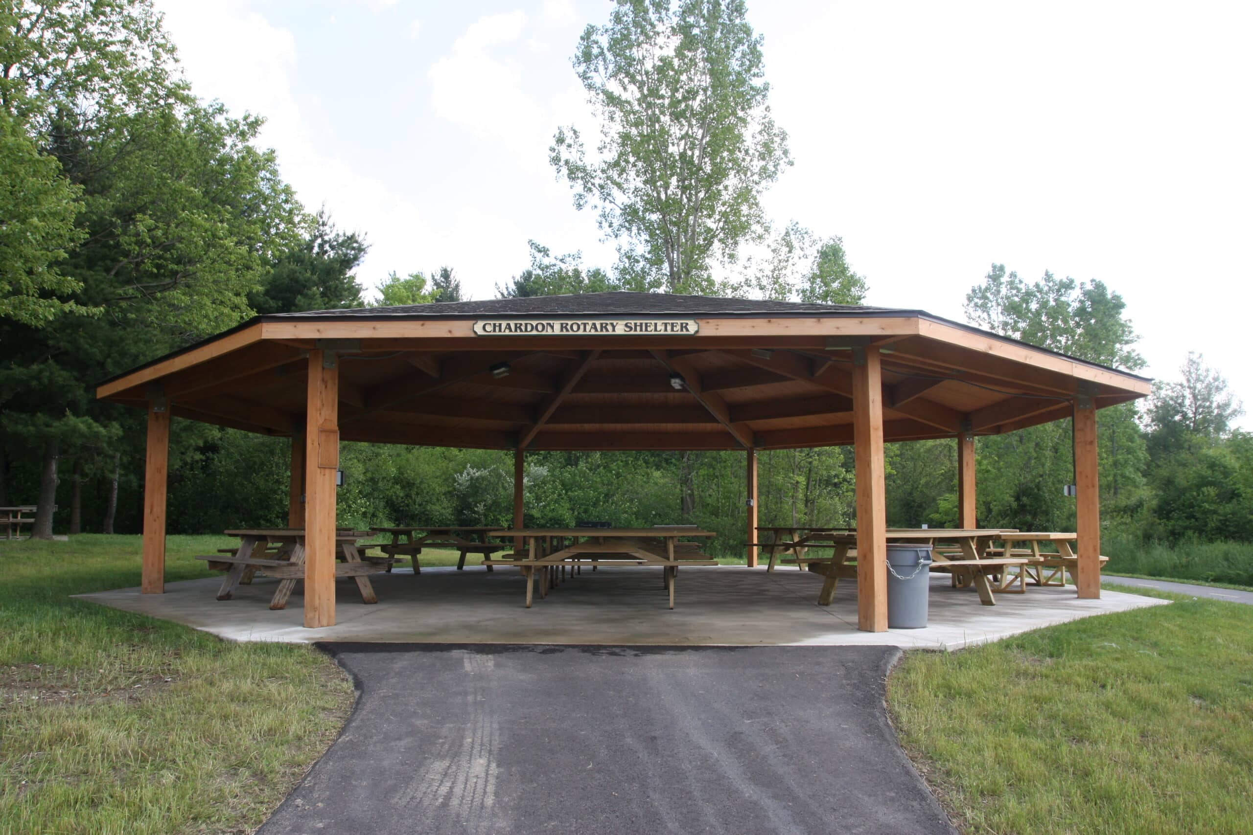
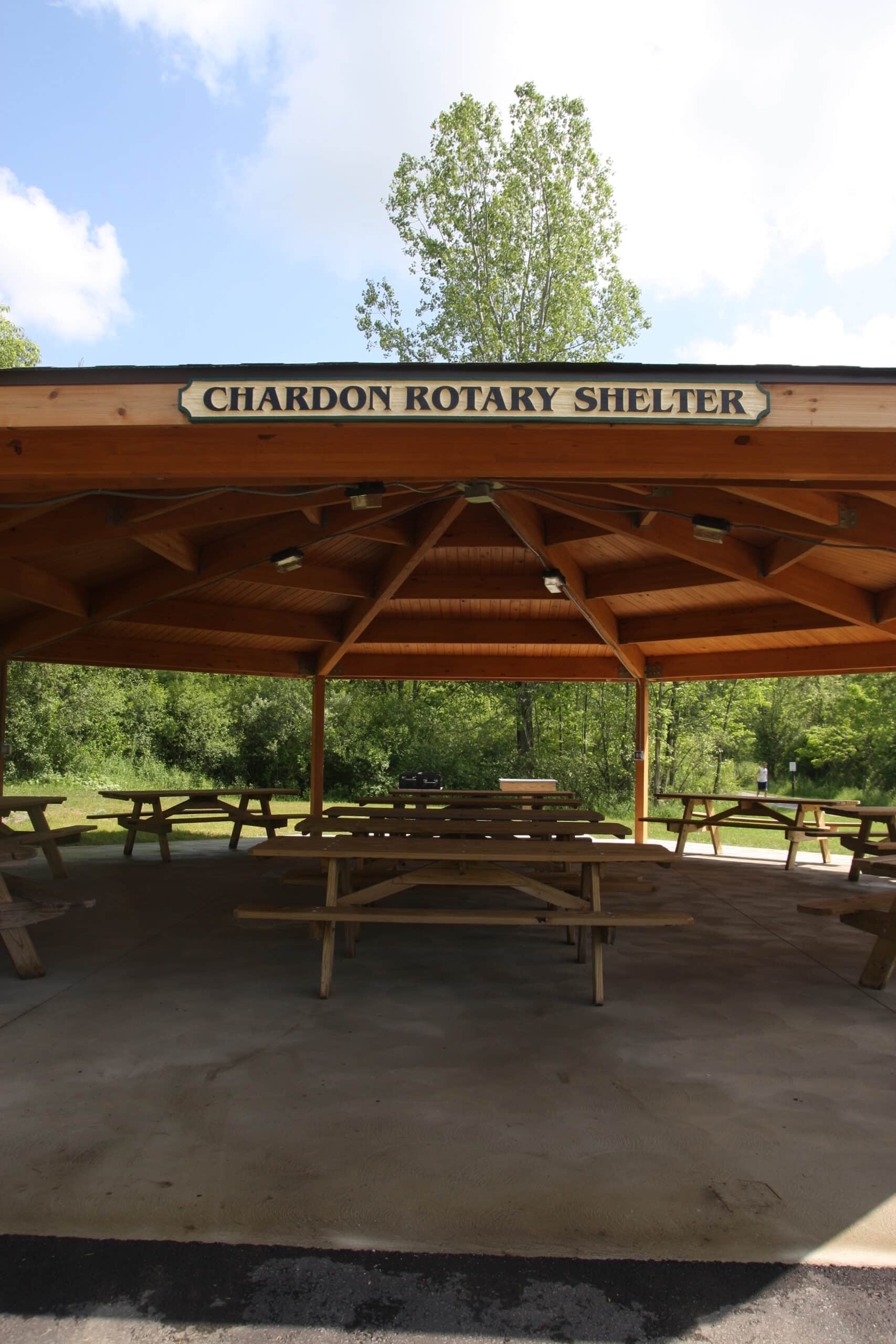
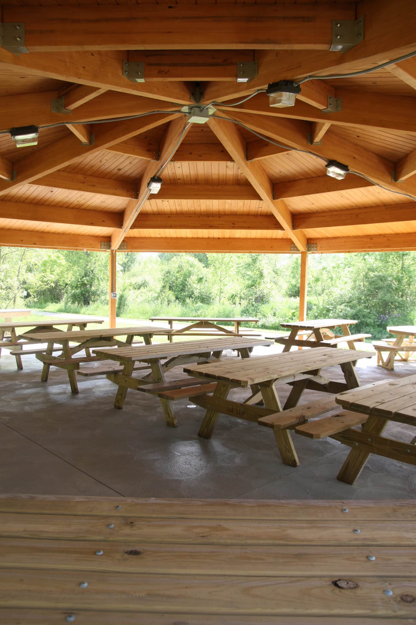
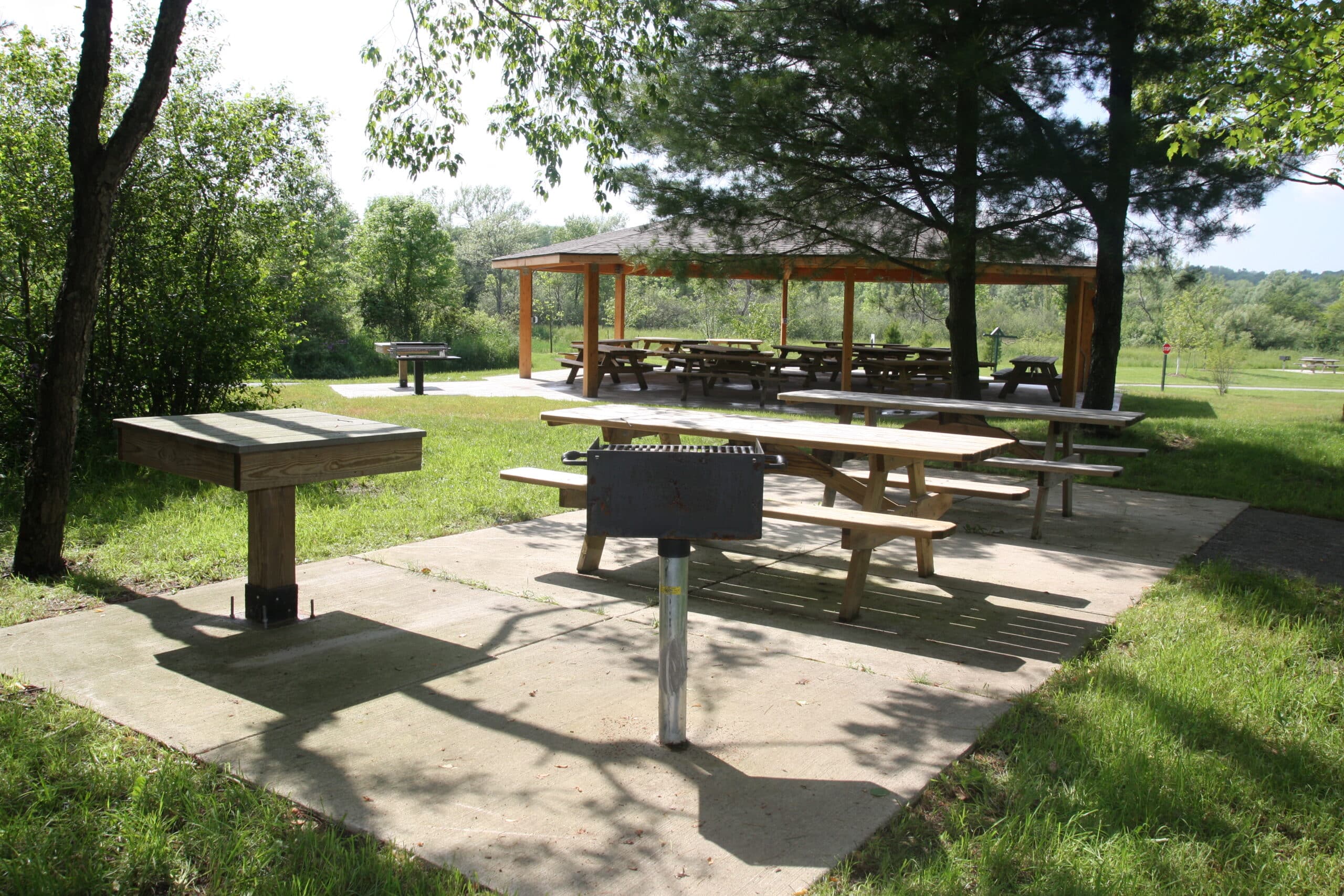
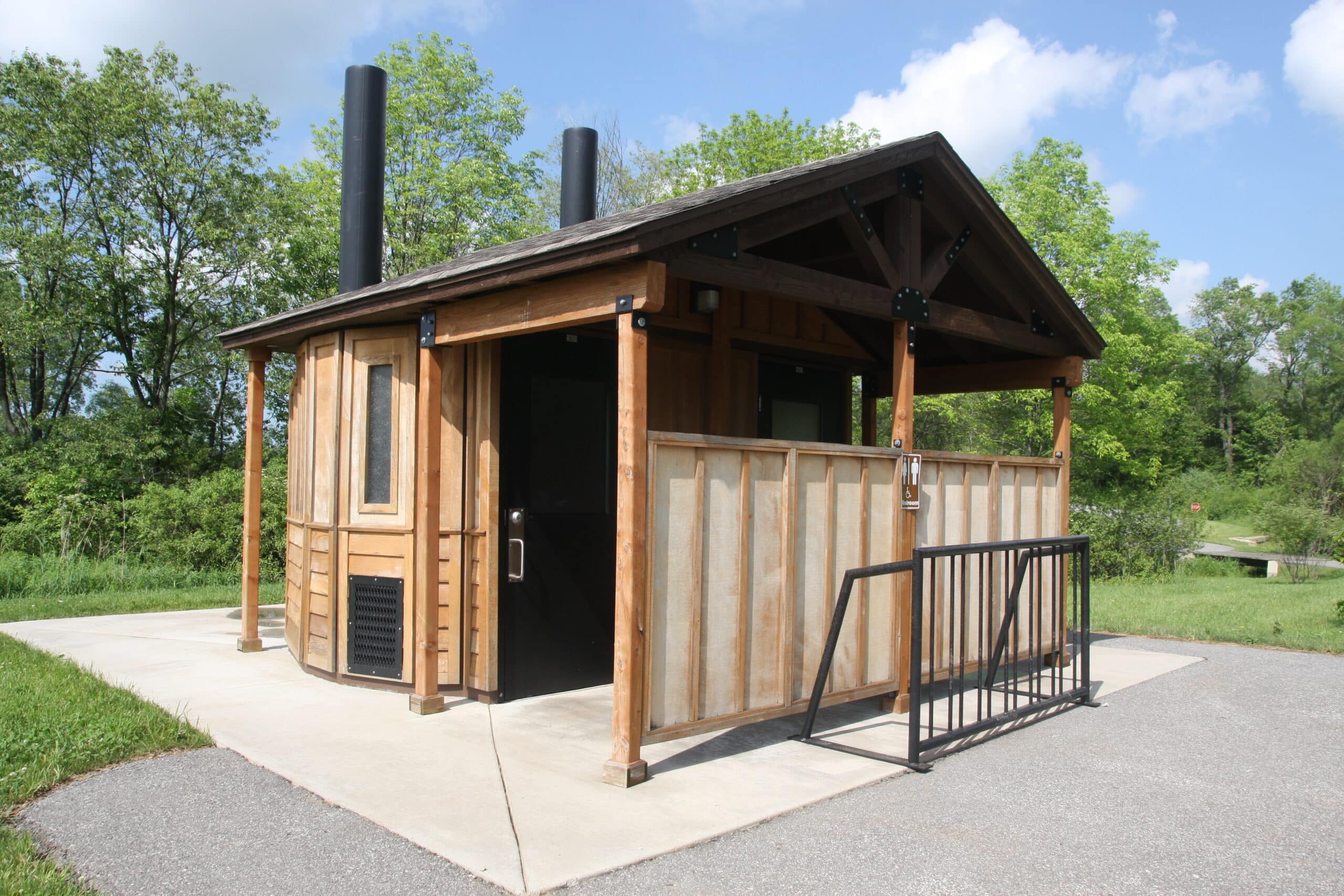
Chardon Rotary Shelter can host up to 75 people and offers 10 picnic tables, electrical outlets, a grill, and nearby vault-style restrooms. Its parking lot can accommodate 40 vehicles.
Guests must bring their own water for drinking and clean-up. Alcohol is only permitted in the shelter, not in the adjacent support facilities such as restrooms, activity areas, trails, parking lots or roads.
To protect the beauty of the parks, Geauga Park District encourages you to “Pack It In, Pack It Out.” Decorations are nice, but please no nails, glitter or confetti, and be sure to remove all traces of your decorations at the end of your visit.
Guests are responsible for their own shelter clean-up at the end of each reservation/event.