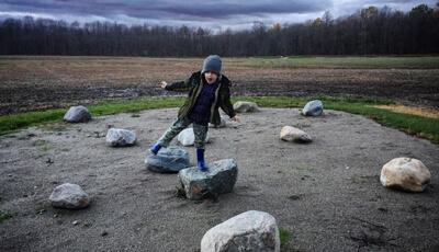
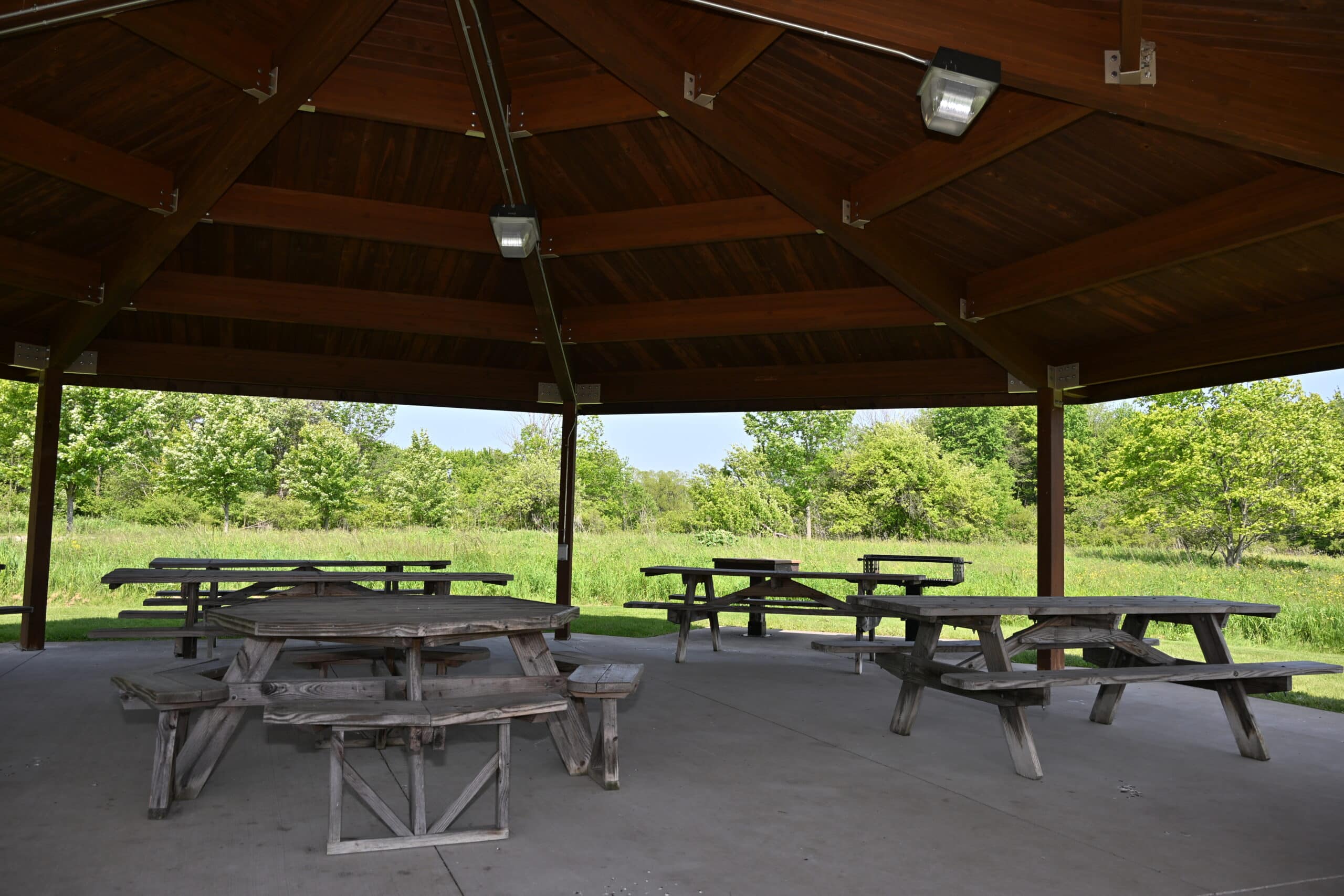
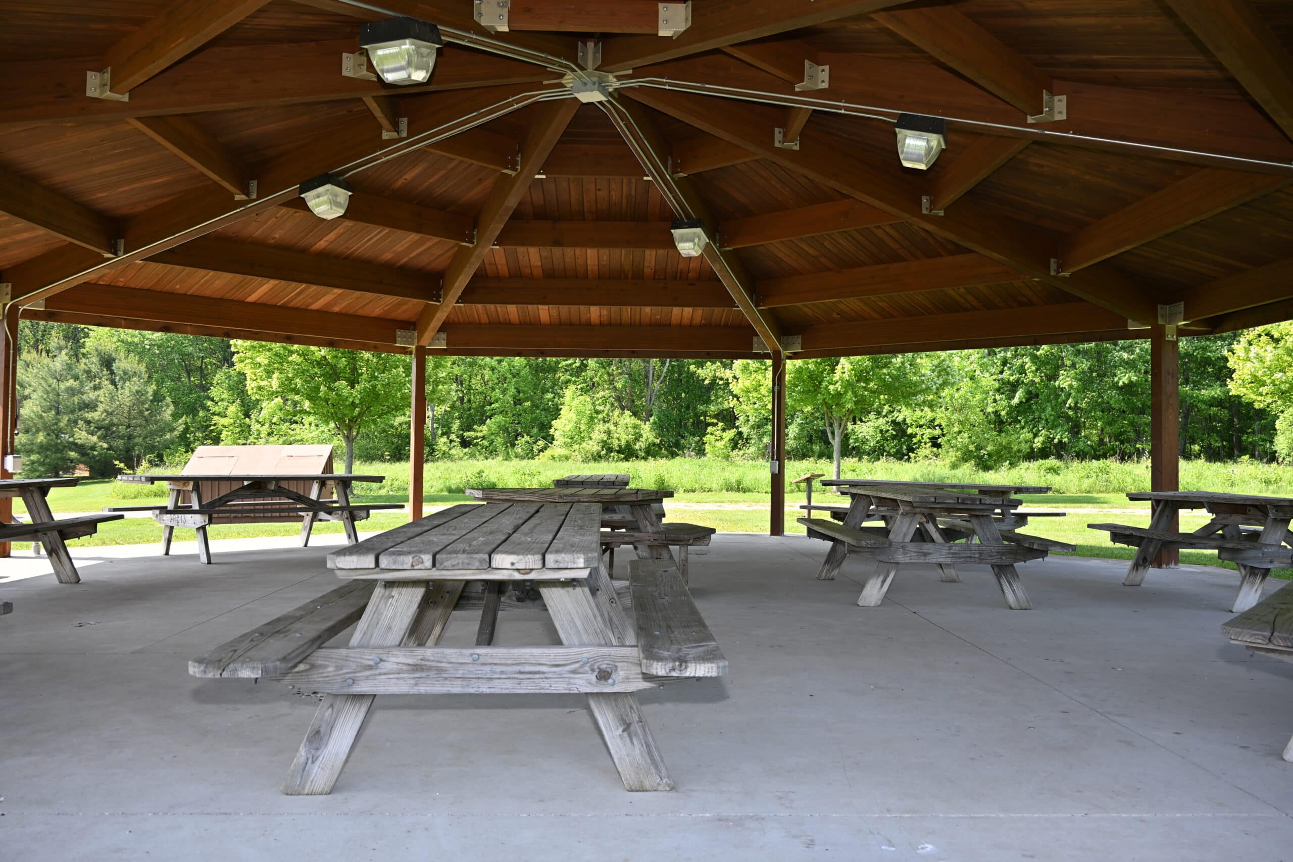
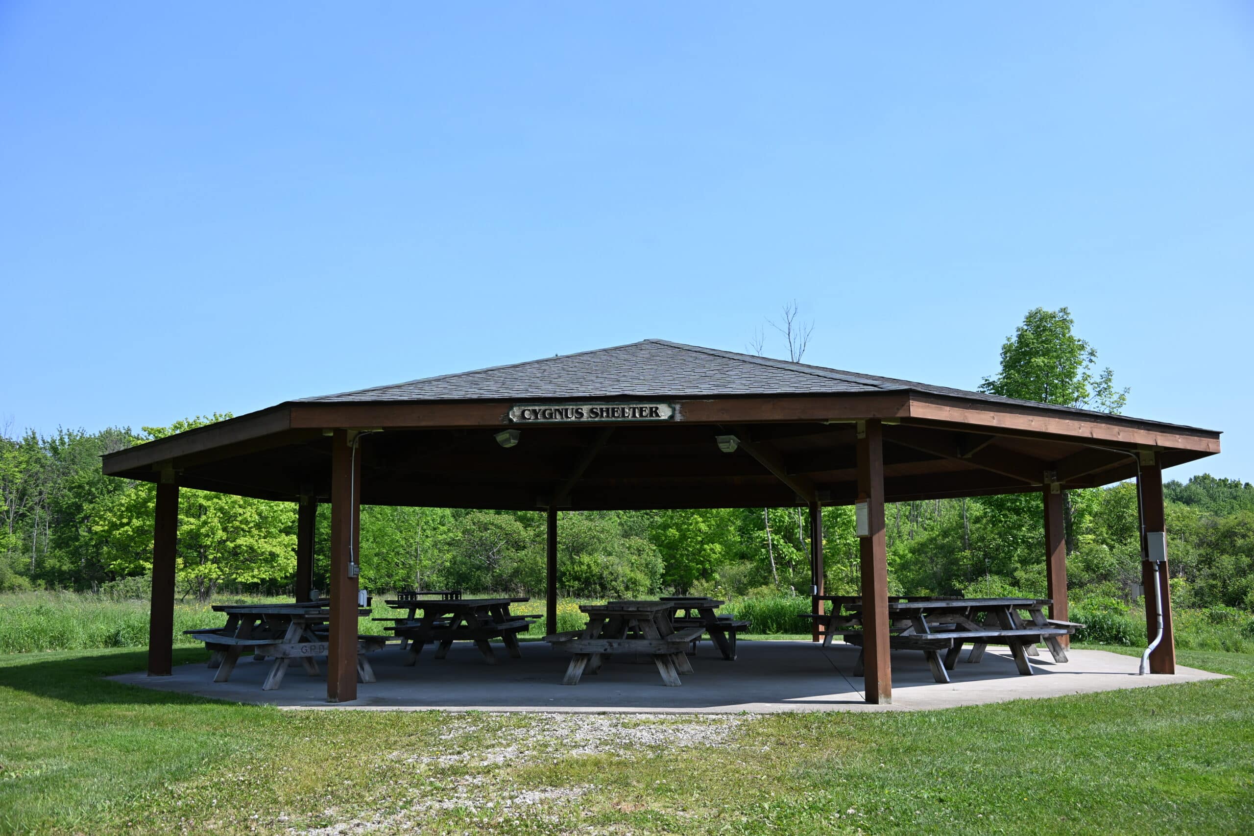
Find a Park home
       

Home

Observatory Park
10610 Clay Street
Montville Township
(Montville, OH 44064)

Oberle Observatory
& Robert McCullough Science Center
(This park is currently under construction.)

There are so many aspects of Observatory Park that are new and exciting, we've given the park a special page all its own! Click here to learn more.


  • About this Park
  • Facilities
  • Trails
  • Habitat
  • Green Features
  • Directions

Observatory Park is a 1,100-acre park in Montville Township, located within the Cuyahoga River watershed. This park is currently under construction, which is taking place in phases. Geauga Park District Foundation is conducting a capital campaign to fund the development of this one-of-a-kind park that will allow people to explore nature from the ground to the galaxies. It is Geauga Park District’s intent to protect this natural area in perpetuity.

In 2003, Geauga Park District purchased a large tract of land in Montville Township, an area that had long been recognized by astronomers as one of the few regions left in Northeast Ohio that had not yet been affected by light pollution. After a series of additional acquisitions, and the addition in 2008 of 280 adjacent acres that included the CWRU Nassau Observatory, plans took shape to develop a park dedicated to the natural sciences.

In 2008, Observatory Park earned distinguished recognition by the International Dark-Sky Association as a provisionally certified, Silver-Tier, International Dark Sky Park. At its dedication in August 2011, it received permanent certification, becoming one of only six Dark Sky Parks in the U.S. and eight in the world.

Click here for Weather Station readings. On the top right of the page, the toolbar offers a summary, maps of our location and nearby weather stations, and other interesting information.

Click here for the Seismic Station readings. On the right of the page, select Station Data; clicking on the Helicorder gives the best representation of the actual signal and shows activity up to 24 hours ago, depending on which Helicorder you select. Select Montville to select Observatory Park!

Observatory Park Phase III construction is currently underway and will add site features and signage, a planetary trail and planet pods, pyramid corner stones, earthern mounds, henge stones and an entrance drive and parking lot.

Several facilities are already situated on the Observatory Plaza after Phase II. The Oberle Observatory has a partially retractable roof to allow direct sky viewing for the Newtonian reflector telescope donated by the estate of Norman Oberle. Images will be projected to the Robert McCullough Science Center across the plaza, where visitors will enjoy indoor viewing of the night skies. Solstice viewing lines will run the diameter of the plaza for direct alignment on the summer and winter equinox. The plaza also has five telescope pads for amateur astronomers to enjoy the dark sky with their own equipment.

After Phase III is completed in the fall of 2011, Observatory Park will include a Planetary Trail and a Weather Trail amassing just over a mile. Future phases will include the addition of horse and woodland trails, ultimately connecting Observatory Park to the nearby Nassau Astronomical Observing Station. Download the trail map here.

Observatory Park protects the watershed of the Cuyahoga River, and holds a diversity of habitats, such as old growth forest, wetlands, and open fields. An important species that has been found is the endangered red swamp current.

There is an abundance of wildlife on the property, including the rare five-lined skink.

Observatory buildings feature numerous green features, including partial green roofs with living plant material. Recycled materials have been used throughout the construction of the park, solar energy will contribute to the utility usage, waterless restrooms, wind turbines, and high efficiency heating and cooling technologies are integrated into the construction. Observatory Plaza has been constructed with a partially pervious design to reduce rainwater runoff.

Click below for a map, courtesy of Mapquest®.

From Erie and points north: Travel I-90 to Route 528. Travel south on Route 528 for approximately 6 miles to Route 6 (GAR Hwy). Turn right on Route 6 and travel 1 mile to Clay Street. Turn left on Clay Street and travel 1.5 miles to the park entrance on the right.

From Akron and points south: Travel I-422 E. Travel approximately 6 miles after highway ends until Route 528 (Madison Road). Turn left onto Madison Road and travel 13 miles to Chardon Windsor Road. Turn left on Chardon Windsor Road and travel 1 mile to Clay Street. Turn right on Clay Street and travel 1.6 miles to park entrance on the left.