Reserve This Facility
This shelter cannot be accessed by vehicle; guests must be able to “pack in and pack out” their items via a short, paved trail from the parking lot. We recommend bringing a small wagon to transport items to your site. Please note that snow is not plowed along this trail during winter weather.
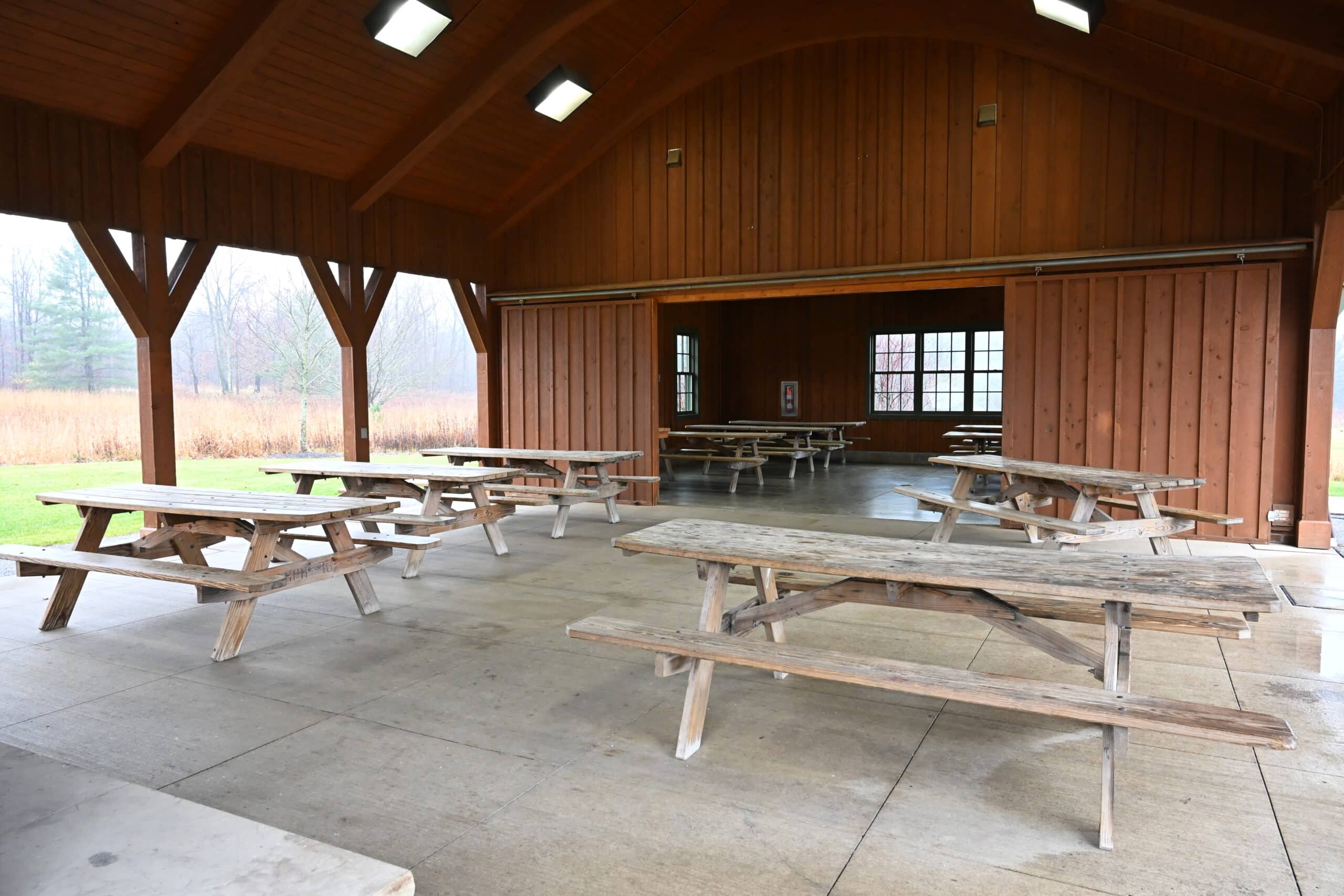
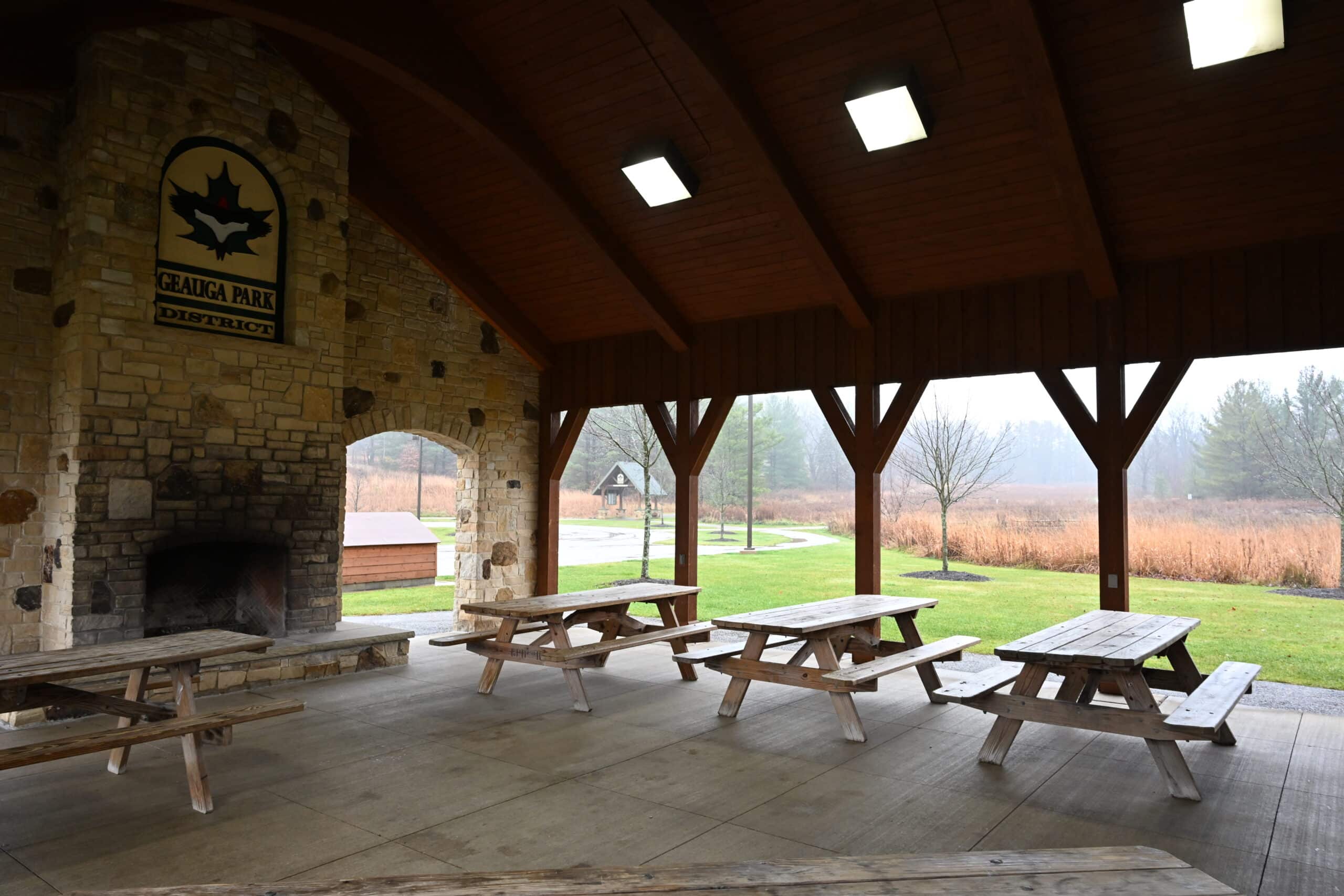
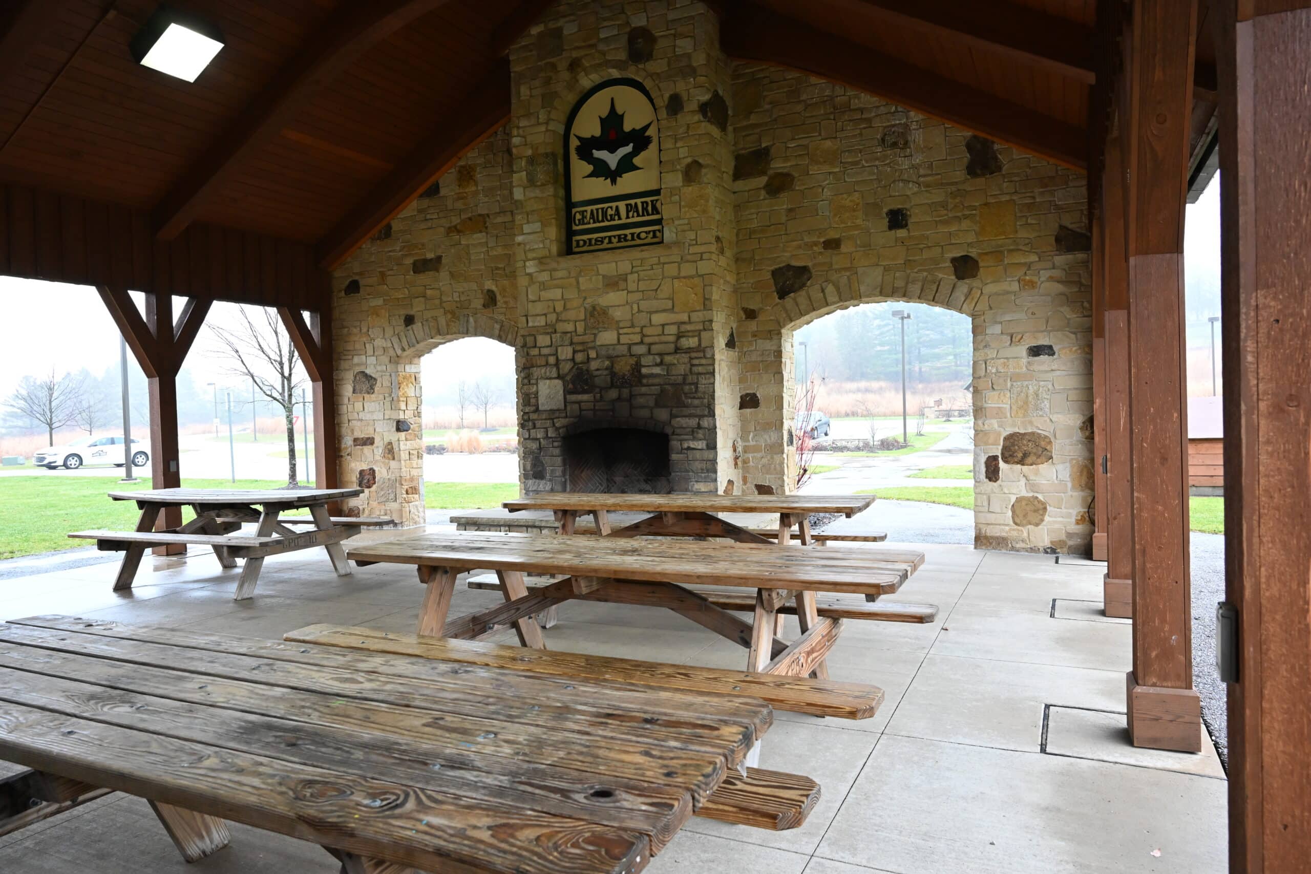
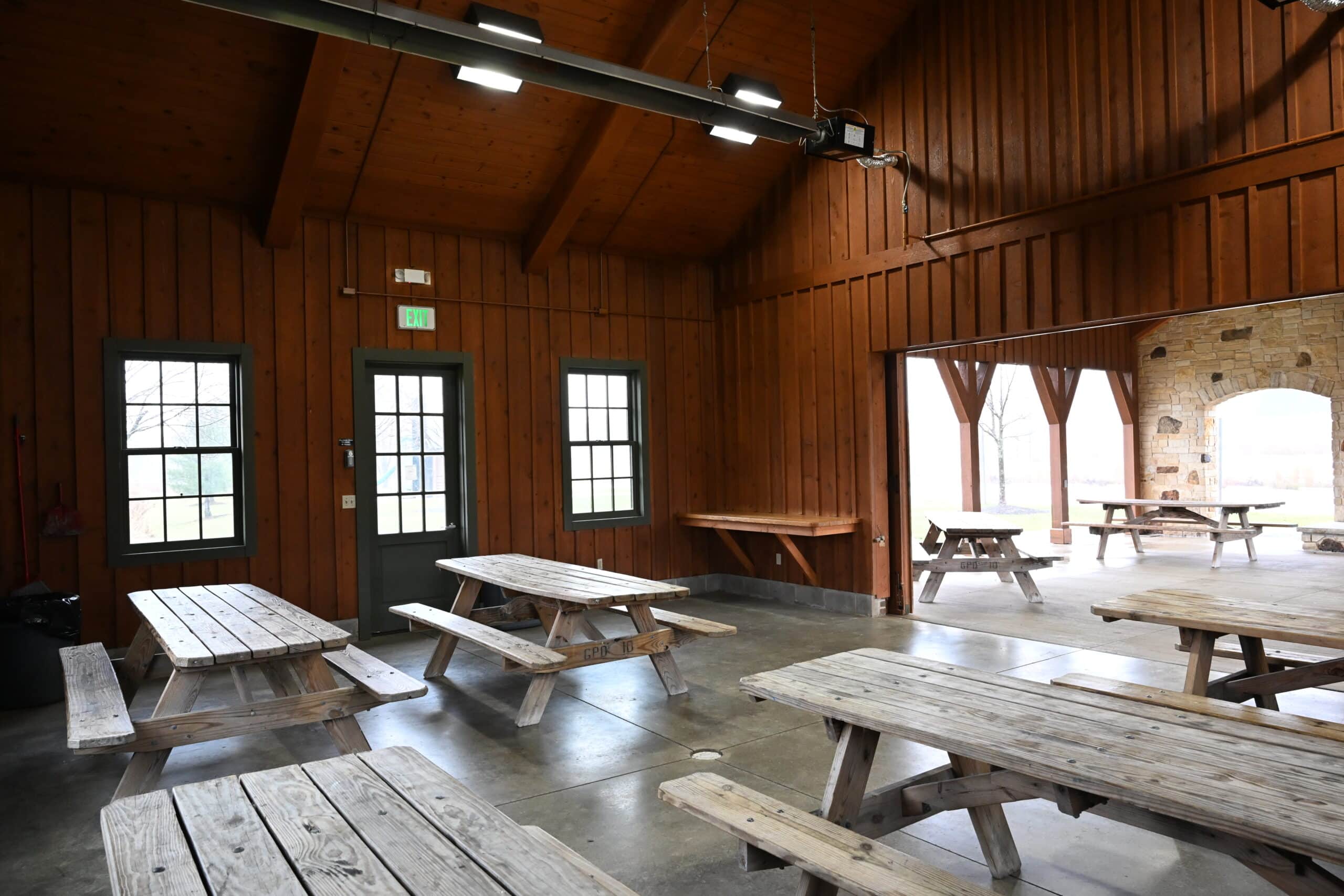
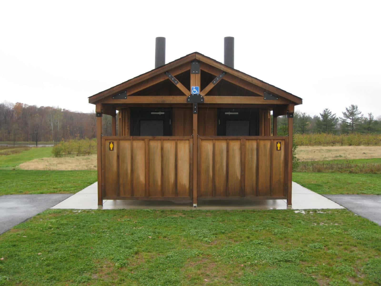
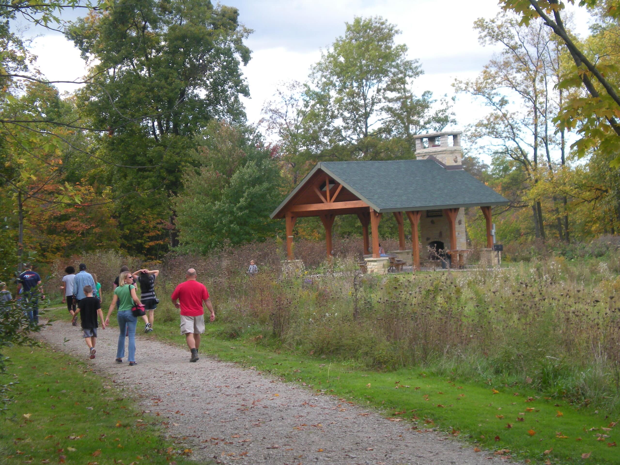
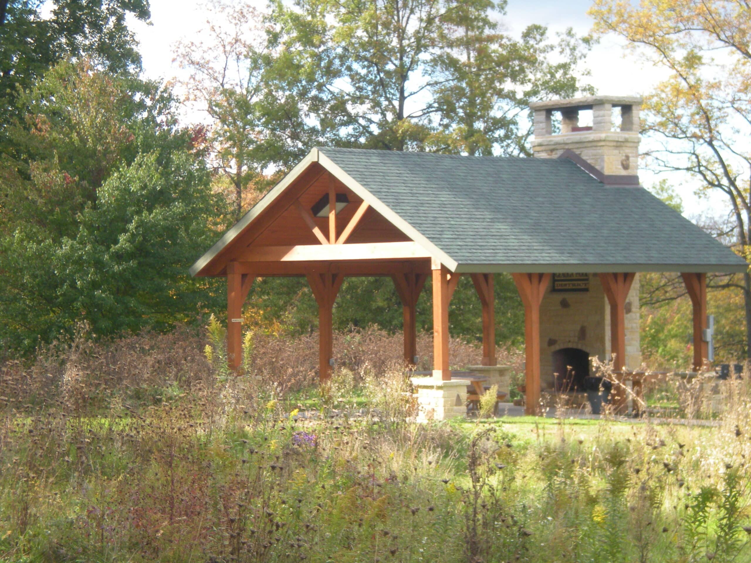
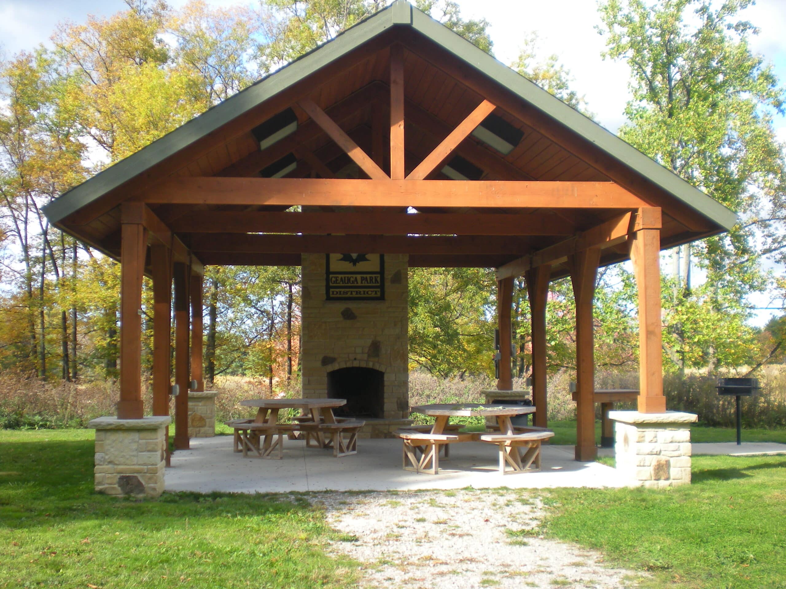
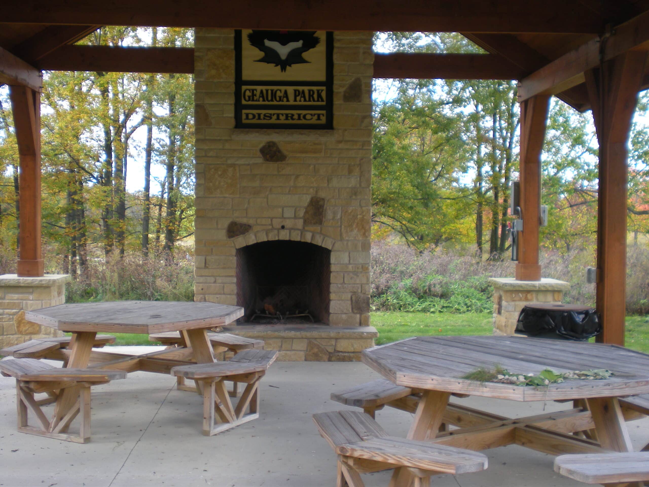
Pondside Shelter can host up to 30 people and offers 3 picnic tables, electrical outlets, a fireplace, and a grill. Vault-style restrooms are located near the parking lot.
Guests must bring their own water for drinking and clean-up. Alcohol is only permitted in the shelter, not in the adjacent support facilities such as restrooms, activity areas, trails, parking lots or roads.
To use the fireplace, guests must bring their own firewood and supplies. Please do not bring firewood from outside Ohio. Guests are encouraged to bring/purchase firewood from local sources close to the park.
To protect the beauty of the parks, Geauga Park District encourages you to “Pack It In, Pack It Out.” Decorations are nice, but please no nails, glitter or confetti, and be sure to remove all traces of your decorations at the end of your visit.
Guests are responsible for their own shelter clean-up at the end of each reservation/event.