This 594-acre park features the Chagrin River, the old Interurban Railroad Junction, and one of Geauga County’s nesting colonies of Great Blue Heron. Two trails total 2.13 miles. Children can have fun in a play area here.
This 594-acre park features the Chagrin River, the old Interurban Railroad Junction, and one of Geauga County’s nesting colonies of Great Blue Heron. Two trails total 2.13 miles. Children can have fun in a play area here.

The super-straight Interurban Trail is uniquely gorgeous to trek in all four seasons.
Woodcock Trail – 0.58 – asphalt
Interurban Trail – 1.55 – gravel

Great Blue Herons are this park's namesake, but what you're more likely to see is a diversity of other wildlife near wetlands and woods.
Located in an old glacial lakebed, much of this land is considered high quality wetland. Open marshes and swamp forests – enhanced by the work of beavers – are found, as are several abandoned oxbows of the original channel of the Chagrin River.
The property surrounding the Silo Picnic Area is brush land. A beech-maple forest and several red-maple stands provide habitat for a variety of animals, including songbirds such as Wood Thrush and Veery. A large forested preserve protects cold water habitat for a endangered native Ohio brook trout, introduced by the Ohio Department of Natural Resource’s Division of Wildlife.
Great Blue Herons rest in treetop colonies of a few to several hundred nests. The isolated colony at The Rookery has been in existence for more than 60 years and has had more than 150 active nests. Since herons are apt to abandon eggs or young if disturbed, the heron rookery itself is accessible only during naturalist-led programs.
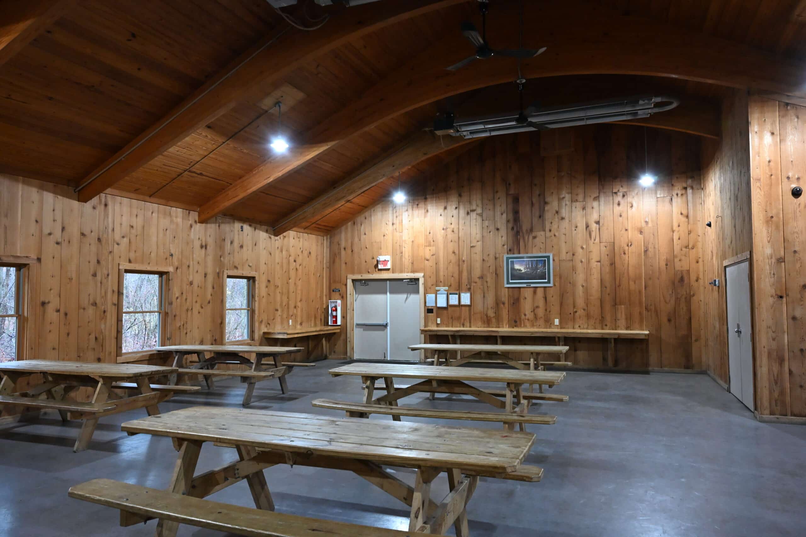
The Rookery has one reservable lodge.
Do you enjoy special events, family activities, experiences in Nature, programs for seniors or or several/all of the above? Sign up for our emails tailored to your interests by selecting the proper categories below. We promise we won’t flood your inbox – just send you what we think you’ll like.
We look forward to keeping in touch!